
Cold Front to Bring Rain, Thunderstorms, and Cooler Temperatures to Kansas City Region
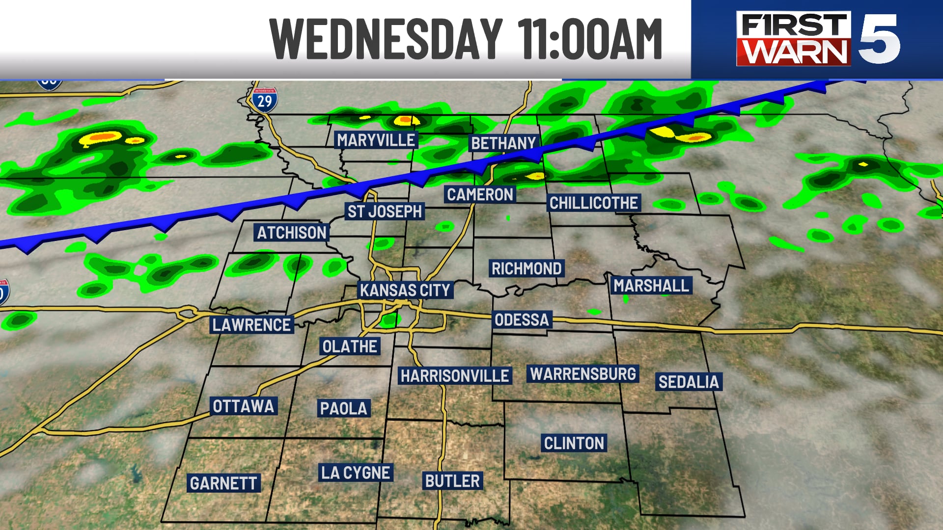
A cold front is set to impact the Kansas City region on Wednesday, bringing scattered rain and thunderstorms, along with gusty winds. This weather system is expected to lead to a noticeable cooldown later in the week, with temperatures moderating…
 Kansas City, MO, September 9, 2026 —
A significant weather shift is anticipated for the Kansas City metropolitan area beginning Wednesday, as a cold front makes its approach. Residents can expect scattered rain showers and thunderstorms to move into the region, accompanied by noticeably gusty winds. This weather system is poised to significantly alter current temperatures.
Following the passage of the front, a distinct cooldown is projected for the latter part of the week. Temperatures are forecast to moderate, settling into the low 80s. This represents a departure from potentially warmer conditions that may have preceded the front.
The effects of the weather system are not expected to dissipate immediately. Lingering rain showers are possible into Thursday morning, suggesting a damp start to the day for many. Looking ahead, the outlook indicates a potential for additional precipitation over the weekend, although specific details regarding the intensity or timing of these weekend showers were not provided in the initial forecast summary.
Meteorologists are monitoring the progression of the cold front and its associated systems. The gusty winds associated with the front’s passage could impact outdoor activities and travel conditions on Wednesday. Residents are advised to stay informed about weather updates as the situation develops.
Story summarized from the original created by Warren Sears on www.kctv5.com, see more information here.
Media gallery
