
Kansas City Braces for Heatwave as Mid-Summer Conditions Return
Kansas City is experiencing warmer temperatures on Tuesday, with highs reaching the mid to upper 80s and heat index values in the lower to mid-90s. While daytime rain chances are minimal, there is a slightly higher probability of showers and…
 Kansas City, MO, August 25, 2026 —
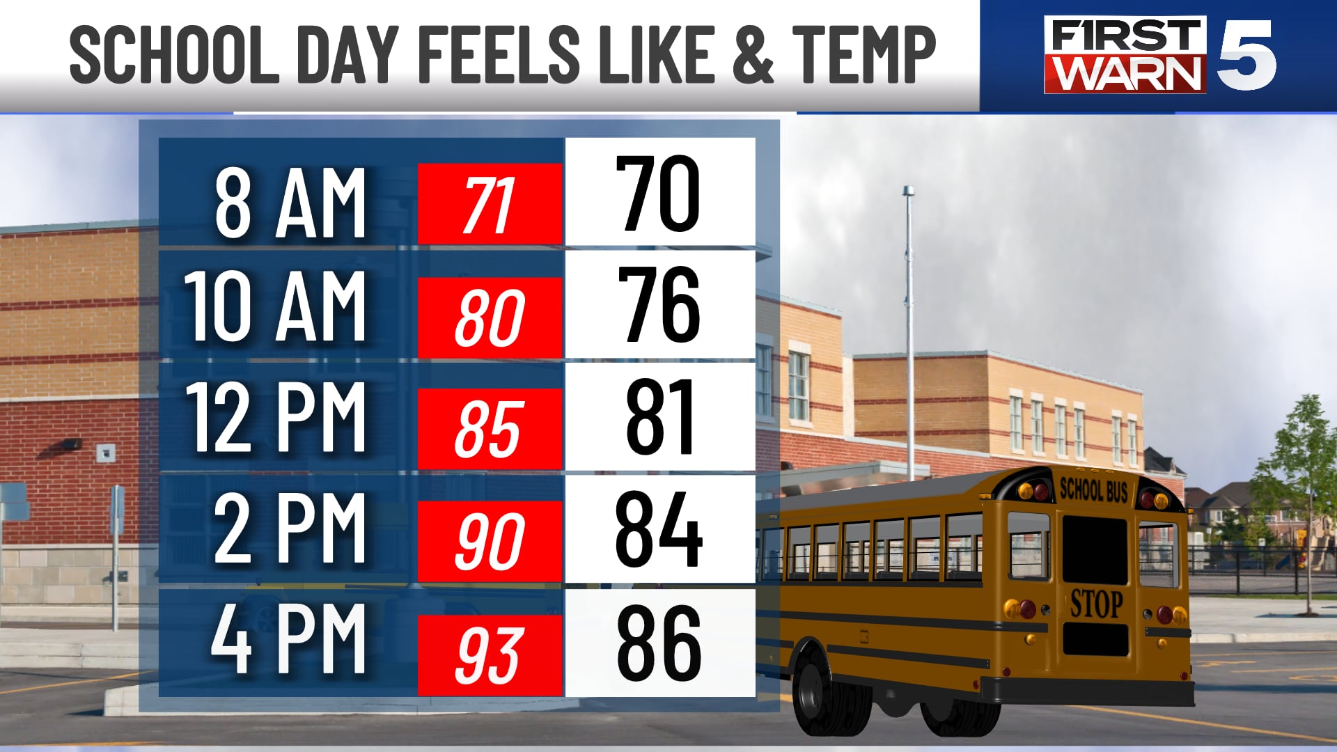
Kansas City residents can expect a significant shift in weather patterns as warmer temperatures are set to dominate the region. Tuesday is forecast to see highs climbing into the mid to upper 80s, with the heat index potentially reaching the lower to mid-90s, indicating a feel-like temperature due to humidity.
While the likelihood of rain during the daytime on Tuesday appears minimal, a slightly increased chance of showers and thunderstorms is anticipated to develop during the evening and overnight hours. These conditions may be more pronounced in the far northeast areas of Kansas and the far northwest regions of Missouri.
The unsettled weather pattern may persist into the early hours of Wednesday, with a small possibility of lingering rain or brief thunderstorms. However, conditions are expected to clear by Wednesday morning, ushering in a dry yet humid day.
A noticeable change in atmospheric conditions is predicted for Thursday and Friday. Humidity levels are expected to decrease substantially during these two days, bringing a period of more comfortable weather for the metropolitan area.
Looking ahead to the weekend, the forecast indicates a return to hotter conditions. High temperatures are projected to potentially reach the low to mid-90s, signaling the return of a more intense summer heatwave.
Story summarized from the original created by Warren Sears on www.kctv5.com, see more information here.
Media gallery
